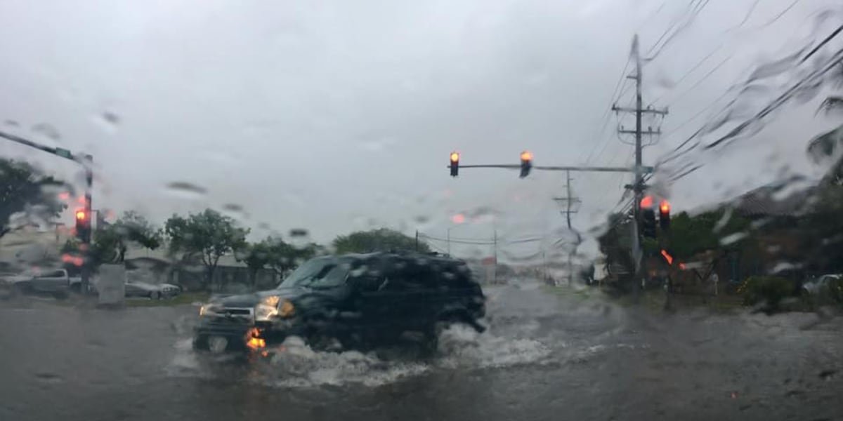
HONOLULU (HawaiiNewsNow) – Residents of high-risk flood areas may need new insurance.
The Federal Emergency Management Agency released new flood insurance rate maps Thursday after a five-year re-examination of Oahu’s flood risks, including multiple streams that had not been studied before.
Federal, state, and local agencies use FEMA maps to determine flood insurance requirements and regulate development in flood-prone areas.
The updated maps highlight several new areas at high risk of flooding, which are now designated as “Special Flood Hazard Areas”.
Property owners in these areas who have a federally backed loan or mortgage will be required to purchase flood insurance when the maps are completed.
Currently, its expected completion date is 2026, after a formal appeals process beginning in the spring of 2025.
The city is urging residents to check if they are located in one of these high-risk areas on the Office of Resilience website.
For residents eager to learn more about the implications of the new maps, FEMA, DLNR and city officials are holding two open houses where residents can ask questions.
One is on November 4 from 6pm-7:30pm on Zoom and requires online registration. The other is on November 6 from 4:30pm to 7:30pm on the first floor of the Neal S. Blaisdell Center.
Copyright 2024 Hawaii News Now. All rights reserved.